For most people, the words “Storm King” conjure up images of giant sculptures strewn across rolling hills, dwarfing the staring onlookers beneath them. Rightfully so – Storm King Art Center is one of the northeast’s premiere art destinations, founded in 1960 as a museum dedicated to Hudson River School paintings before evolving into the 500 acre open-air sculpture garden that it is today. That said, there’s an often-overlooked destination just a a few minutes east of the Mountainville museum, nestled between Route 9W and the mighty Hudson River – Storm King Mountain.
Named by Nathaniel Parker Willis, author of The Romance of Travel and friend of Edgar Allan Poe, Storm King might have one of the most striking and imposing monikers in state – Breakneck Ridge, just across the Hudson, definitely gives it a run for its money. Willis, in the now defunct 19th century publication Home Journal, wrote:
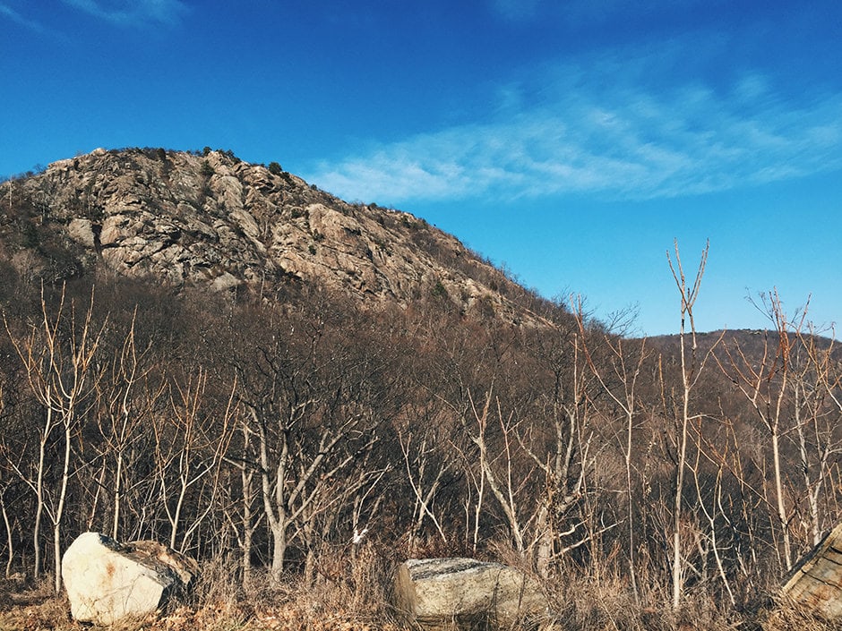
The tallest mountain, with its feet in the Hudson at the Highland Gap, is officially the Storm King—being looked to, by the whole country around, as the most sure foreteller of a storm. When the white cloud-beard descends upon his breast in the morning…there is sure to be a rain- storm before night…He seems the monarch and this seems his stately ordering of a change in the weather. Should not STORM-KING, then, be his proper title?
This hike along Storm King is, for lack of a more refined term, a Goldilocks hike. Not too short but not too long, not stay-in-bed-the-next-day grueling but not underwhelmingly effortless – you get the picture. It’s a perfect hike for the uninitiated, for those who want to get outside more often but don’t know where to start, for those that shudder at the idea of reaching the top of anything with the word “mountain” in it. It’s an absolute gem of the Hudson Valley, and will leave anyone yearning for more of the area’s majesty.
At two and a half miles from start to finish and peaking at 1,385 feet above sea level, you won’t tire out before reaching the halfway point but you wont feel swindled by the time you’re back at the trailhead. I’ve done this particular hike with everyone from extremely athletic rock climbing friends to those of a more sedentary ilk, and I’ve seen families, young children, dogs of all sizes, and the elderly along the way. It’s my go-to hike – I try to head to Storm King anytime I’m in the area with a few hours to spare, and it’s where I usually bring anyone that doesn’t hike too much but wants to come along for a little adventure.
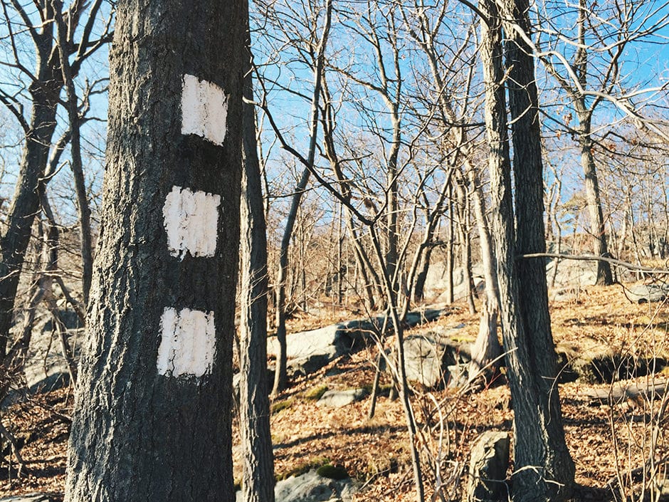
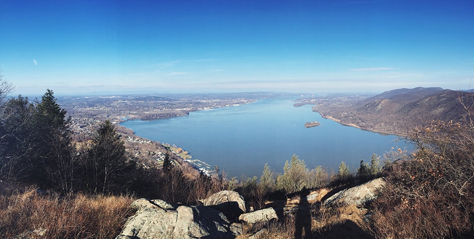
This hike also has the benefit of simplicity: from the trailhead, follow the orange blazes to the blue/yellow blazes to the white blazes. That’s it. Keep an eye out along the way for a round US Geological Survey marker embedded in rock – this is the highest point along the way, but not the best view. The best view is just a bit further, a breathtaking panorama providing views of Newburgh Bay with Bannerman’s Castle (an abandoned military surplus warehouse) in the foreground and the Catskills looking dreamy along the horizon.
For some post-hike nourishment, look no further than Painter’s, a restaurant, bar, inn, and art space in nearby Cornwall-on-Hudson. They’ve got some seriously spectacular food for all diets and a beer list that dreams are made of. If it’s winter and you’re lucky, you might get seated right in front of a roaring fireplace. If you’re looking for something else to do in the area, Cold Spring is a half hour drive away, across either the Bear Mountain bridge to the south or the Newburg-Beacon bridge to the north. A visit to Old Souls and a beer at Cold Spring Depot sounds like a perfect time to me, and if it’s warm out, stop by Moo Moo’s Creamery for a cone while you mosey around the Cold Spring waterfront.
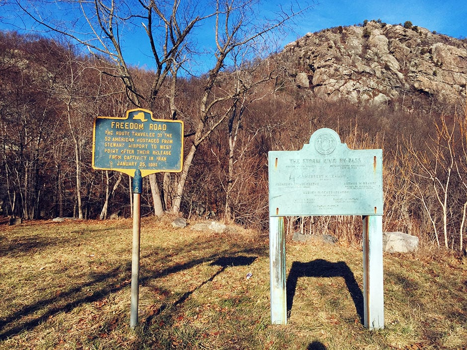
To get here: Head north on the Palisades Interstate Parkway to its northern terminus at a traffic circle just before Bear Mountain Bridge. Take the third exit in the circle onto Route 9W, following it for about ten miles to a pull-off on the right side where you’ll park and find the trailhead. Keep an eye out to your right on this last stretch for some expansive views of the Hudson Valley.